


YPT 48-1233 Voting District, King County, Washington
About
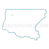
Outline

Summary
| Unique Area Identifier | 686454 |
| Name | YPT 48-1233 Voting District |
| County | King County |
| State | Washington |
| Area (square miles) | 0.20 |
| Land Area (square miles) | 0.20 |
| Water Area (square miles) | 0.00 |
| % of Land Area | 100.00 |
| % of Water Area | 0.00 |
| Latitude of the Internal Point | 47.64341120 |
| Longtitude of the Internal Point | -122.22000750 |
Maps


Graphs
Select a template below for downloading or customizing gragh for YPT 48-1233 Voting District, King County, Washington


Neighbors
Neighoring Voting District (by Name) Neighboring Voting District on the Map
- C-H 48-0323 Voting District, King County, WA
- C-H 48-0324 Voting District, King County, WA
- HPT 48-0533 Voting District, King County, WA
- Water: Lake Washington Leg 48 Con 8, King County, WA
- YPT 48-1234 Voting District, King County, WA